Features
Emergency Release Dense Gas Model
SLAB VIEW
KEY FEATURES
The SLAB model was developed in the 1980's by Lawrence Livermore National Laboratory (LLNL), with financial support from the Department of Energy (DOE). The SLAB model is currently distributed by the US EPA
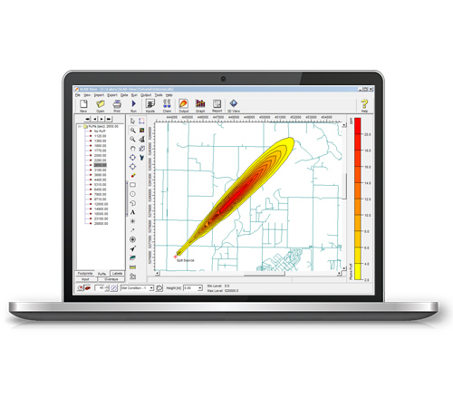
INTEGRATED GRAPHICAL USER INTERFACE
Fully integrated interface combining easy to use graphical tools, seamless model run, and automated contouring and posting of results.
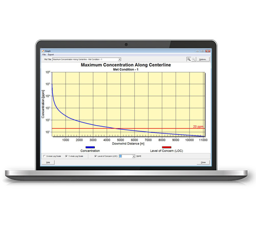
MAXIMUM CONCENTRATION GRAPHS
SLAB View automatically generates graphs displaying the Maximum Concentration Along the Centerline for all the meteorological conditions being modeled. You can specify the Level of Concern (LOC) for the chemical being modeled to be shown in the graph (indicated in this image as a red line).
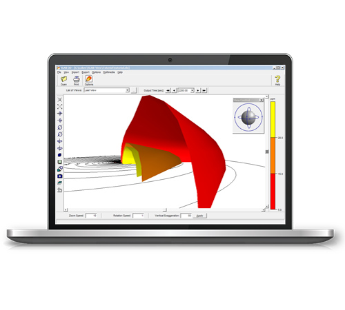
3D VISUALIZATION
Watch the plume disperse in three dimensions using the 3D View option. Understanding how a release spreads has never been easier. SLAB 3D allows you to create animations of plume migration that can be incorporated into most presentation packages.
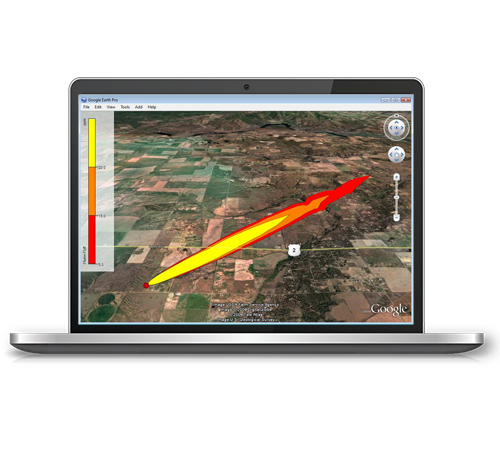
EXPORT TO GOOGLE EARTH
This exciting feature allows you to export the footprint and or puff of the source spill into Google Earth giving you a more realistic image of where the spill will impact surrounding areas.
ADDITIONAL FEATURES
There is more to SLAB View than great looks. Each copy contains everything you'll need to complete your project without paying for costly add-ons.

