Features
Gaussian Plume Air Dispersion Model
AERMOD View
KEY FEATURES
AERMOD View contains features developed by meteorologists and engineers who regularly work with air dispersion models, so they understand what today's modeler needs to do their job successfully.
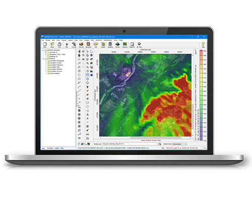
INTEGRATED GRAPHICAL USER INTERFACE
Fully integrated GIS-based interface combining easy-to-use graphical tools for drawing sources, buildings, and receptors; seamless model run execution; and automated contouring and posting of results.
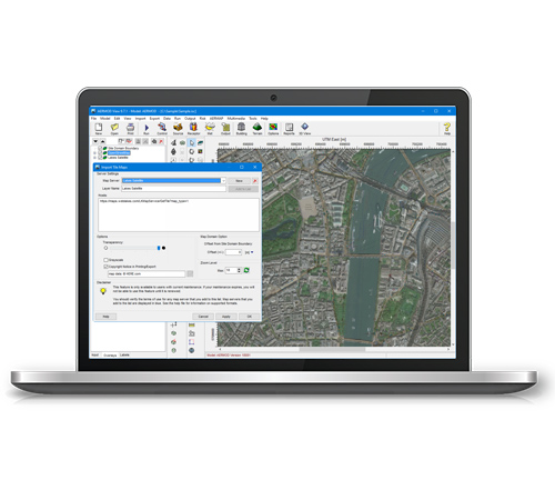
LAKES TILE MAPS
Automatically download and import high-resolution satellite and street map imagery into your projects. This makes it easy to graphically input model objects like sources, buildings, and receptors, and provides a great spatial reference point for analyzing model results.
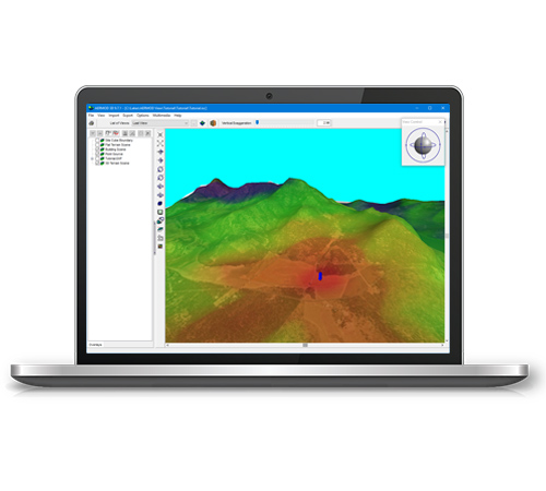
POWERFUL 3D VISUALIZATION
Complete 3D visualization of your entire modeling area. Sources, buildings, and concentration and/or deposition contour results are displayed in context with the surrounding terrain.
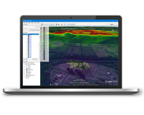
EXPORT TO GOOGLE EARTH
This exciting feature allows you to export your buildings, sources, receptors and contours into Google Earth giving you a more realistic image of where your pollutants will impact surrounding areas.
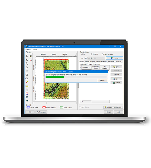
TERRAIN PROCESSOR WITH AUTO DOWNLOADS
Advanced terrain processing capabilities are offered for several terrain data file formats such as NED, SRTM, and USGS DEM. Automated download of terrain data files from WebGIS. SRTM1 Terrain data at 30 m resolution available worldwide. WATCH VIDEO
ADDITIONAL FEATURES
There's more to AERMOD View than great looks. Each copy contains everything you'll need to complete your project without paying for costly add-ons.

