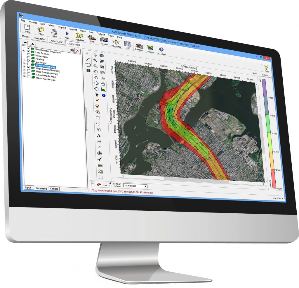
CALRoads View
Traffic Air Dispersion Model
OVERVIEW
CALRoads View is an air dispersion modeling package for predicting air quality impacts produced by mobile sources at or near roadways and roadway intersections. Three US EPA models – CALINE4, CAL3QHC, & CAL3QHCR – are combined into one seamless graphical interface. These models predict air pollution concentrations of carbon monoxide (CO), nitrogen dioxide (NO2), particulate matter (PM), and other inert gases.
3 Models in 1 Integrated Interface!
The CALINE 4 model developed by the California Department of Transportation (Caltrans) predicts air concentrations of carbon monoxide (CO), nitrogen dioxide (NO2), and suspended particles near roadways. Options are available for modeling near intersections, parking lots, elevated or depressed freeways, and canyons.
The CAL3QHC model estimates total air pollutant concentrations (CO or PM) near highways from both moving and idling vehicles. This model also estimates the length of queues formed by idling vehicles at signalized intersections.
The CAL3QHCR model is an enhanced version of CAL3QHC, that can process up to a year of hourly meteorological data. Vehicular emissions, traffic volume, and signalization (ETS) data can be specified for each hour of a week.


